Geospatial data introduction: mapping natural phenomena, concept of continuous fields and discrete sampling, units, projections, coordinate transformations, georeferencing, geospatial formats, conversions, geospatial data abstraction library, raster and vector representation, raster-vector conversions and resampling.
Data display and visualization: display of continuous and discrete data, use of color, shading, symbols, to extract the spatial pattern and relationships, 3D visualization: multiple surfaces and volumes, 3D vector objects, visualization for data analysis (lighting, zscaling, transparency, cutting planes, animations), view/create maps/post your data on-line (Google Earth/Maps, GPS visualizer).
Geospatial Analysis: foundations for analysis of continuous and discrete phenomena, neighborhood operations and buffers, analysis and modeling with map algebra, cost surfaces and least cost path, spatial interpolation and approximation (gridding).
Terrain Modeling and Analysis (Geomorphometry): terrain and bathymetry mapping, mathematical and digital representations (point clouds, contour, raster, TIN), DEM and DSM, working with multiple return lidar data, spatial interpolation of elevation data and topographic analysis, line of sight, viewshed analysis, solar irradiation, photovoltaic energy potential, time series of elevation data, analysis of coastal change.
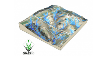
Flow tracing, Watershed Analysis and Landforms: methods for flow routing and flow accumulation, extraction of stream networks, extraction of watershed boundaries and building watershed hierarchies, feature extraction, landforms.
Introduction to Modeling of Geospatial Processes: model formulation, input data processing, introduction to GIS-based hydrologic and erosion modeling.


