R-Spatial

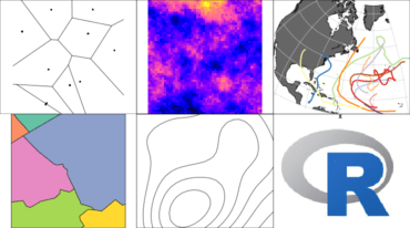
R-Spatial can be loosely defined as the ecosystem of code, projects and people using R for working with and adding value to spatial data. A manifestation of the wider R-Spatial community is the friendly, vibrant and diverse range of voices using the #rspatial tag on Twitter.
R-Spatial Open Source Community
As an open source community software project however, we define R-Spatial as the packages at r-spatial (sf, stars, mapview, gstat, spdep and many others) and rspatial (raster and terra).
Spatial Data Support in R
A good overview of Spatial Data support in R can be found at CRAN Task View: Analysis of Spatial Data. Another list with R packages that directly link to OSGeo libraries is found at R packages that use the OSGEO stack in System Requirements. Thousands of R packages depend on these packages.
