Geomajas – OSGeo Heritage Project
heritage project

Geomajas – OSGeo Heritage Project

heritage projectGeoMajas

Note: This project is an OSGeo Heritage Project – it is no longer maintained

Geomajas was an open source platform for JAVA IT Professionals to create Web GIS applications.
Some features:
Display & edit geographic data from multiple sources
Out-of-the-box functionality through plugins & map widgets
Enterprise-ready with integrated security

Source code can still be found and used (see link)

Core features

  • Core features

    • Programmable using pure Java through GWT
    • Supports many layer types (incl. WMS, WFS, WMTS, TMS, OSM, Google Maps, Shape, PostGIS, Oracle, JDBC, …)
    • Handy collection of built-in widgets (incl. Editing and redlining, Print, Geocoding, Layer tree, …)
    • Build your own use cases and create new widgets
    • Easy skinnable through custom CSS
    • No need for browser plug-ins
    • Runs on a wide range of internet devices using HTML5
    • Not a GWT enthusiast? Access core features through the Javascript API
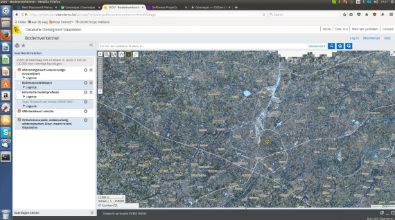
geomajas-screenshot