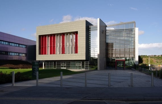
The IESSG was launched in 1988, having been previously well-known as the Nottingham Surveying Group, and as such, has been active since the 1960s. Technological revolution has been key, with major advances in terrestrial opto-mechanical equipment, automated acquisition systems, and the development of satellite-based systems such as Transit, GPS and GLONASS, EGNOS and the European Galileo system.
The core of IESSG research activity traditionally focused on satellite navigation and positioning systems but this widened to include fields such as photogrammetry, remote sensing, sensor integration and geographical information systems. Institute research ranged from fundamental science to application software solutions, with an ever increasing diversity, from engineering surveying to unmanned aerial vehicles.
As a major multidisciplinary research centre, the Centre for Geospatial Science was set up in 2005. It conducted pioneering studies across areas related to geospatial science and technology. Through working closely with partners from across industry, academia, and various government departments, staff from the centre developed research strengths in geospatial science, including: geoinformatics and data modelling, geospatial intelligence, interoperability and standards, location based services and semantics, reasoning and cognition.


