Client
Desktop clients provide a productive environment for GIS professionals, while browser and mobile clients offer a broad reach for your mapping assets.
-

GeoMoose
GeoMoose is a Web Client JavaScript Framework for displaying distributed cartogr… -

GRASS
GRASS is a powerful computational engine for raster, vector, and geospatial proc… -


gvSIG Desktop
gvSIG is a powerful, user-friendly, interoperable GIS used by thousands o… -

Mapbender
Mapbender is a web based geoportal framework to publish, register, view, navigat… -

Marble
Versatile, yet easy to use. Use Marble similar to a desktop globe; pan around an… -


OpenLayers
OpenLayers makes it easy to put a dynamic map in any web page. It can display ma… -


EOEPCA+
EOEPCA+’s vision is to streamline the access to and processing of earth observat… -

GC2/Vidi
A platform for building spatial data infrastructure and deploying browser based … -


GeoExt
A JavaScript Toolkit for Rich Web Mapping Applications
-


GeoServer Client PHP
GeoServer Client PHP is library for interacting with the GeoServer API.
-


Giswater
An intelligent technology, free and open source for the integral water cycle man… -

istSOS
IstSOS is an OGC Sensor Observation Service server implementation written in Pyt… -

Portable GIS
GIS on a USB stick, for windows
-


XYZ / MAPP
Open source presentation, controller, domain, and service layers for cloud nativ… -

DigiAgriApp
DigiAgriApp is a software solution aimed at anyone with cultivated land.… -

eodash
Publish and integrate Earth Observation data in a dashboard application through … -

ESA-NASA WorldWind
WorldWind is a free, open source API for a virtual globe. WorldWind allows devel… -

Geopaparazzi
Geopaparazzi is a tool developed to do very fast qualitative engineering/geologi… -

GET-IT - Geoinformation Enabling ToolkIT starterkit®
The Geoinformation Enabling ToolkIT starterkit® (GET-IT) is the software suite f… -

Koop
An Open Geospatial ETL Engine so you can leave geospatial data where it lives an… -

Leaflet
Open-source JavaScript library for mobile-friendly interactive maps
-

Masterportal
Masterportal is an open source geoviewer (WebGIS) compliant to OGC standards. It… -
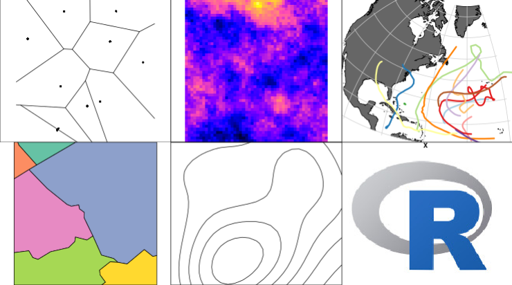
R-Spatial
A set of R packages for handling and analysing spatial data, built upon OSGeo co…

