Desktop Mapping
I have data to visualize
-


deegree
deegree is open source software for spatial data infrastructures and the geospat… -


GDAL/OGR
GDAL is a C++ translator library for more than 200 raster and vector geospatial … -

GeoMoose
GeoMoose is a Web Client JavaScript Framework for displaying distributed cartogr… -


GeoNetwork
A catalog to manage spatially referenced resources. It provides powerful metadat… -

GeoNode
GeoNode is a web-based application and platform for developing geospatial inform… -

GEOS
GEOS (Geometry Engine – Open Source) is a C++ port of the Java Topology Su… -


GeoServer
Designed for interoperability, GeoServer publishes data from any major spatial d… -


GeoTools
An open source Java library providing a standards compliant approach for visuali… -

GRASS
GRASS is a powerful computational engine for raster, vector, and geospatial proc… -


gvSIG Desktop
gvSIG is a powerful, user-friendly, interoperable GIS used by thousands o… -

Mapbender
Mapbender is a web based geoportal framework to publish, register, view, navigat… -

MapServer
Known as one of the fastest mapping engines in the world, MapServer is an Open S… -

Marble
Versatile, yet easy to use. Use Marble similar to a desktop globe; pan around an… -


OpenLayers
OpenLayers makes it easy to put a dynamic map in any web page. It can display ma… -


Orfeo ToolBox
Orfeo ToolBox is an open-source project for state-of-the-art remote sensing, inc… -


OSGeoLive
OSGeoLive is a self-contained bootable DVD, USB thumb drive or Virtual Machine b… -


pgRouting
pgRouting extends the PostGIS / PostgreSQL geospatial database providing routing… -

PostGIS
PostGIS adds GIS spatial types and support to PostgreSQL. It is used by Database… -


PROJ
PROJ is a generic coordinate transformation software that transforms geospatial … -


pycsw
pycsw is an OGC CSW server implementation written in Python. Started in 2010 (mo… -


pygeoapi
pygeoapi is an OGC API to geospatial data
-


PyWPS
PyWPS is an implementation of the Web Processing Service standard from the Open … -


QGIS Desktop
QGIS is the leading Free and Open Source Desktop GIS. It allows you to create, e… -


ZOO-Project
ZOO-Project is a C-based WPS (Web Processing Service) implementation. It is an o… -


actinia
Actinia is an open source REST API for scalable, distributed, high performance p… -


EOEPCA+
EOEPCA+’s vision is to streamline the access to and processing of earth observat… -


ETF
ETF is a testing framework for validating data and APIs in Spatial Data Infrastr… -

FDO
FDO Data Access Technology is an API for manipulating, defining and analyzing ge… -

GC2/Vidi
A platform for building spatial data infrastructure and deploying browser based … -


GeoExt
A JavaScript Toolkit for Rich Web Mapping Applications
-


GeoHealthCheck
GeoHealthCheck is a Python application to support monitoring OGC Web Services up… -


GeoServer Client PHP
GeoServer Client PHP is library for interacting with the GeoServer API.
-

GeoStyler
generic styler for geodata
-


GeoWebCache
GWC is a tile server and caching proxy written in Java.
-


Giswater
An intelligent technology, free and open source for the integral water cycle man… -

istSOS
IstSOS is an OGC Sensor Observation Service server implementation written in Pyt… -


Loader
A loader for geographic data in GML and KML (that needs some preparation before … -


mapfish
Create reports that contain maps!
-


MapGuide Open Source
MapGuide Open Source is a web-based platform that enables users to develop and d… -


mappyfile
A Python library to create, parse, modify, and format MapServer Mapfiles.… -


Mesh Data Abstraction Library (MDAL)
Mesh Data Abstraction Library (MDAL) is a translator library for more than 15 un… -


MobilityDB
An open source geospatial trajectory data management & analysis platform… -


Open Data Cube
The Open Data Cube is a Python library and suite of supporting applications that… -


Opticks
Opticks is an expandable remote sensing and imagery analysis software platform t… -


OSGeo4W
OSGeo4W is a binary distribution of a broad set of open source geospatial softwa… -

OSSIM
OSSIM is an open source, C++ (mostly), geospatial image processing library used … -


OWSLib
OWSLib is a Python package for client programming with Open Geospatial Consortiu… -

Portable GIS
GIS on a USB stick, for windows
-


PROJ-JNI
PROJ-JNI provides a Java Native Interface for PROJ C/C++ library.… -
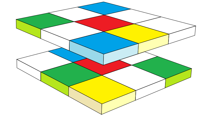

Pronto Raster
Pronto Raster is a C++ library for calculations with raster data. The library is… -

rasdaman
Scalable datacube analytics
-


TEAM Engine
The Test, Evaluation, And Measurement (TEAM) Engine is a testing facility that e… -


TorchGeo
TorchGeo: datasets, samplers, transforms, and pre-trained models for geospatial … -


XYZ / MAPP
Open source presentation, controller, domain, and service layers for cloud nativ… -

Bezitopo
A land surveying CAD package under development
-
CoastalME
CoastalME (Coastal Modelling Environment) is a Free Open Source and Software for… -
DigiAgriApp
DigiAgriApp is a software solution aimed at anyone with cultivated land.… -

eodash
Publish and integrate Earth Observation data in a dashboard application through … -

EOxServer
EOxServer is a Python application and framework for presenting Earth Observation… -

ESA-NASA WorldWind
WorldWind is a free, open source API for a virtual globe. WorldWind allows devel… -
First Draft GIS
First Draft GIS is an Artificial Intelligence that makes the first draft of a ma… -
Flexurba
Flexurba is an open-source R package to flexibly reconstruct the Degree of Urban… -

Geomajas - OSGeo Heritage Project
Note: This project is an OSGeo Heritage Project – it is no longer maintain… -
GeoMesa
GeoMesa is an open-source, distributed, spatio-temporal database built on a numb… -

Geopaparazzi
Geopaparazzi is a tool developed to do very fast qualitative engineering/geologi… -

geOrchestra
geOrchestra is the free, modular, interoperable & secure Spatial Data Infras… -


GeoTrellis
GeoTrellis is a geographic data processing library designed to work with large g… -

GeoWave
GeoWave is a software library that connects the scalability of distributed compu… -

GET-IT - Geoinformation Enabling ToolkIT starterkit®
The Geoinformation Enabling ToolkIT starterkit® (GET-IT) is the software suite f… -
GIFramework Maps
GIFramework Maps is a .NET based web mapping application designed and developed … -

Gisquick
Let’s share GIS much quicker!
-

HOT Tasking Manager
The purpose of the Tasking Manager is to divide a large mapping project into sma… -

JTS Topology Suite
JTS is an open source spatial library defining geometry, spatial relationships, … -

Kaoto
Kaoto is an integration editor to create and deploy workflows in a visual, low-c… -

Koop
An Open Geospatial ETL Engine so you can leave geospatial data where it lives an… -

Leaflet
Open-source JavaScript library for mobile-friendly interactive maps
-

LERC Limited Error Raster Compression
LERC is an open-source image or raster format which supports rapid encoding and … -

Masterportal
Masterportal is an open source geoviewer (WebGIS) compliant to OGC standards. It… -

MOSS
Map Overlay and Statistical System (MOSS) The Map Overlay and Statistical System… -

MovingPandas
Python library for movement trajectory data exploration and analysis.
-

pdal
The Point Data Abstraction Library (PDAL) provides command line tools and a libr… -

PerfectTIN
Converts point clouds to TINs
-

QField
Get your QGIS fieldwork done efficiently and comfortably.
-
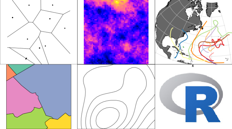
R-Spatial
A set of R packages for handling and analysing spatial data, built upon OSGeo co… -

RasterFrames
RasterFrames® enables analysts, data scientists and EO specialists to easily… -

SFCGAL
SFCGAL is a C++ wrapper library around CGAL (Computational Geometry Algorithms L… -

Tegola
Tegola is a high performance Mapbox Vector Tile server written in Go. In a nutsh… -

Terra Draw
Terra Draw is an open source JavaScript library for drawing and editing geometri… -
Terraformer
Tools and objects for working with and transforming GeoJSON, WKT and GeoServices… -

Wradlib
The wradlib project has been initiated in order to facilitate the use of weather…

