Raster Processing
Open source technology provides a great selection of tools for imagery and raster analysis.
-

GRASS
GRASS is a powerful computational engine for raster, vector, and geospatial proc… -


Orfeo ToolBox
Orfeo ToolBox is an open-source project for state-of-the-art remote sensing, inc… -


actinia
Actinia is an open source REST API for scalable, distributed, high performance p… -


EOEPCA+
EOEPCA+’s vision is to streamline the access to and processing of earth observat… -


Open Data Cube
The Open Data Cube is a Python library and suite of supporting applications that… -


Opticks
Opticks is an expandable remote sensing and imagery analysis software platform t… -

OSSIM
OSSIM is an open source, C++ (mostly), geospatial image processing library used … -

Pronto Raster
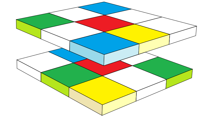
Pronto Raster is a C++ library for calculations with raster data. The library is… -

rasdaman
Scalable datacube analytics
-


TorchGeo
TorchGeo: datasets, samplers, transforms, and pre-trained models for geospatial … -

EOxServer
EOxServer is a Python application and framework for presenting Earth Observation… -
Flexurba
Flexurba is an open-source R package to flexibly reconstruct the Degree of Urban… -


GeoTrellis
GeoTrellis is a geographic data processing library designed to work with large g… -

MOSS
Map Overlay and Statistical System (MOSS) The Map Overlay and Statistical System… -
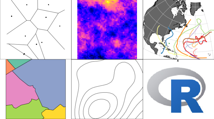
R-Spatial
A set of R packages for handling and analysing spatial data, built upon OSGeo co… -

RasterFrames
RasterFrames® enables analysts, data scientists and EO specialists to easily…


